From Strava, Garmin & AllTrails
Your route,
cast in terrain.
Connect an activity, and we turn its real elevation data into a minimalist relief-map poster — framed and shipped, or a 3D-printed terrain model for the trail you earned.
No account needed to preview. Free to design — pay only when you order a print.
How it works
01Connect your activity
Link Strava in one click, or upload a GPX/FIT file exported from Garmin, AllTrails, Komoot, or any GPS watch.
02Customize the layout
Pick your palette, crop, title, names, and stats. Preview the real render — same pipeline that ships to print.
03Get it printed & shipped
Order a framed print shipped to your door, or download the print-ready file. 3D-printed terrain, coming soon.
Made for people who track their miles
See what they look like
View the gallery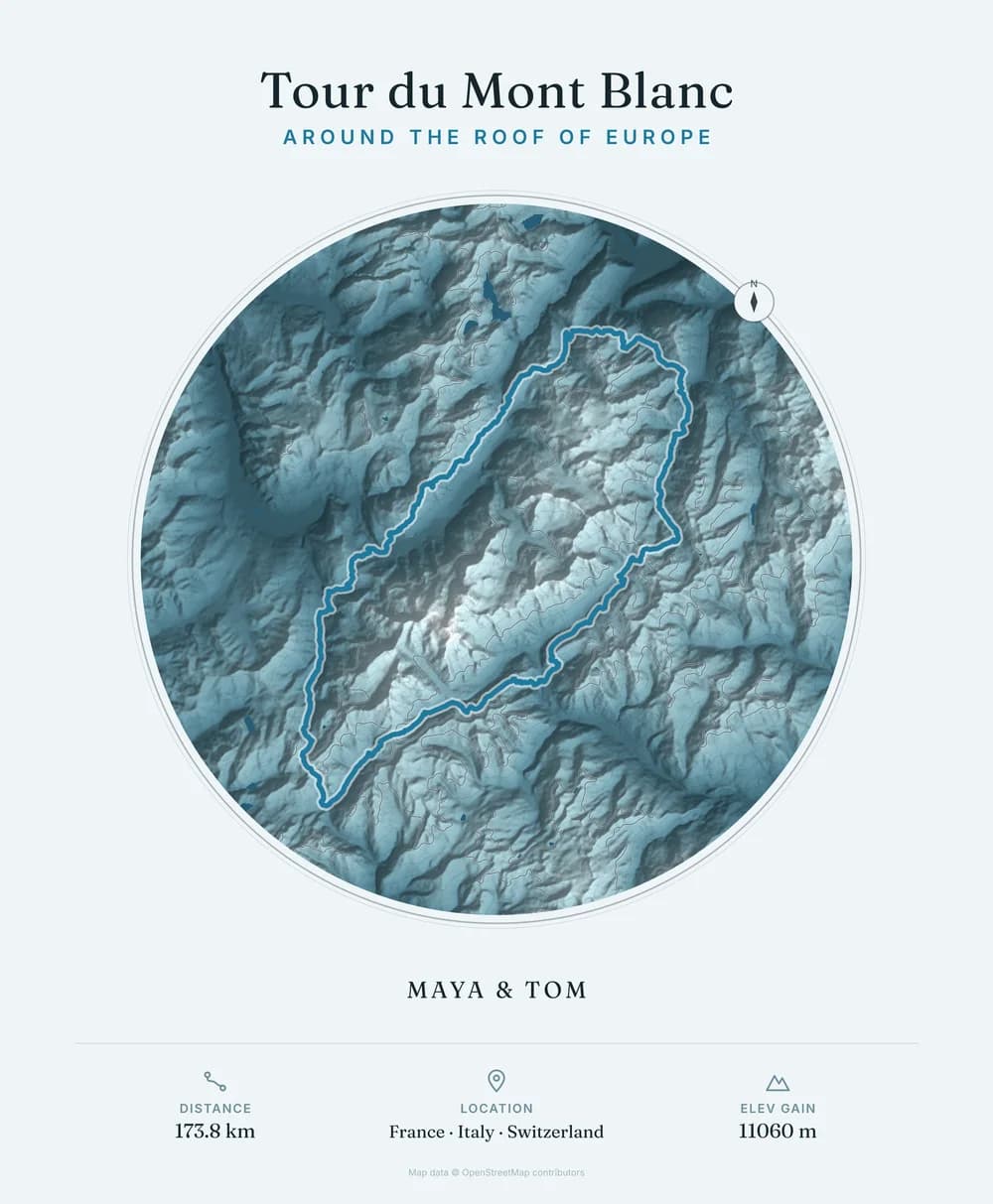
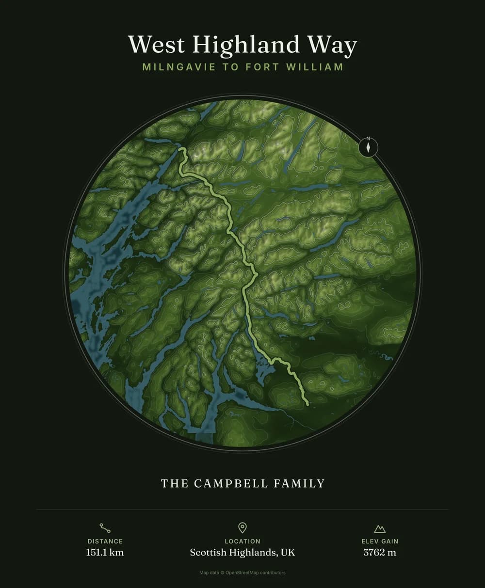
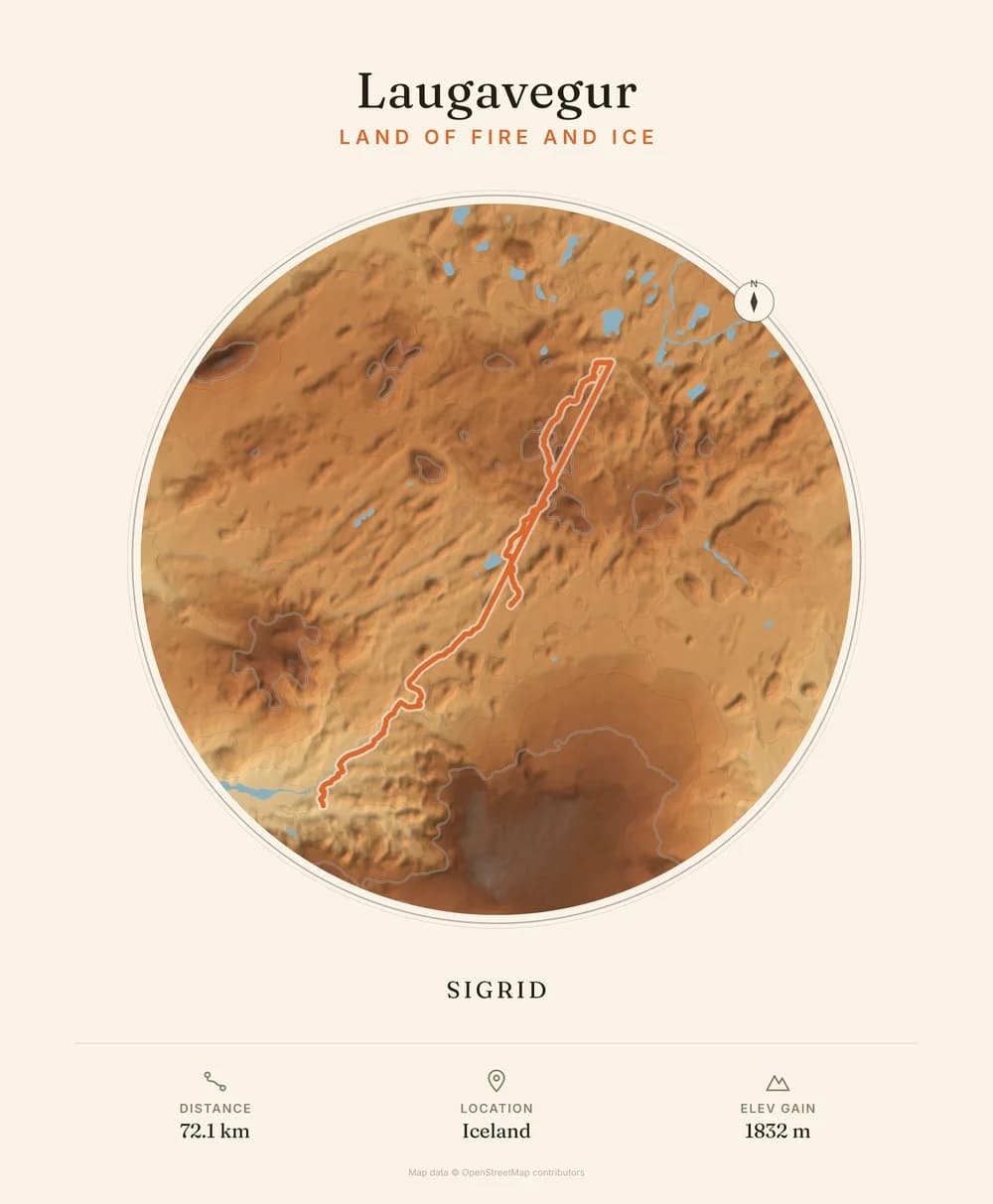
Simple pricing
Design for free. Pay only when you order. (GBP, ships worldwide — confirm shipping at checkout)
Questions
Do I need a Strava account?
No — Strava is the fastest way in, but you can upload a GPX or FIT file exported from Garmin Connect, AllTrails, Komoot, or almost any GPS device instead.
How accurate is the terrain?
The relief is generated from real open elevation data for your route's exact location — it isn't a decorative stock mountain graphic.
Can I preview before I pay?
Yes. The editor renders the same file that goes to print, in real time, before you're asked to check out.
What about 3D-printed terrain?
It's in development as a second product line, using the same elevation pipeline. Join the waitlist on the pricing section to hear first.